We considered renting a car so that we could stop wherever we wanted between our somewhat widespread destinations. In the end, I was glad we didn’t. Even Ecuadorans will tell you Ecuadorans are maniacs behind the wheel. The country has a fantastic and cheap bus system, but the station in Quito isn’t in the city center and we hadn’t figured out the schedule. Instead, we hired drivers to get to some of the more distant destinations. Well, distant as the roads go. As the condor flies, it’s a rather small country. But a lot of it is incredibly steep resulting in zillions of switchbacks. Our drivers would hurdle around these turns as if there was no chance an oncoming truck would be crossing the lane, or there wouldn’t be a cow being led to a pasture, nor a platoon of sheep being herded to market, nor a group of ladies collecting stones on the side of the road – all of which happened. I missed half the countryside because I had my eyes clamped shut. Lanes are mere suggestions. Passing in a blind curve is tradition.
One journey required we arrive at a specific time to catch a hotel shuttle. After some misadventure with Uber (doesn’t work everywhere, but sometimes it will tell you it is just looking for a driver,) we didn’t think we could make it. Our driver said he could get us there on time. “Fast and furious!” he bragged. I could have done with less of both. Squealing tires, Formula 1 gear shifting, using side roads to get around frequent traffic jams – it felt like the opening of the film Baby Driver with a Latin soundtrack. However, we spent less on hiring drivers than renting a car, with none of the stress of doing our own stunts. Later, we figured out a bus route and found that they, too, will pass a slow-moving dump truck in the middle of a switchback. But having the mass of the bus felt safer, they weren’t that much slower, and were considerably cheaper.
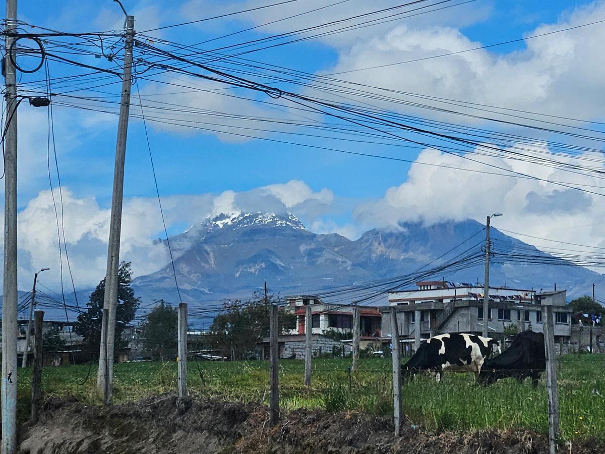
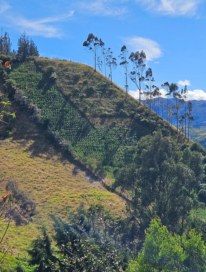
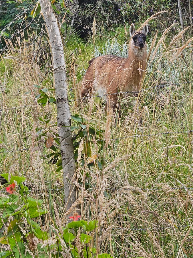
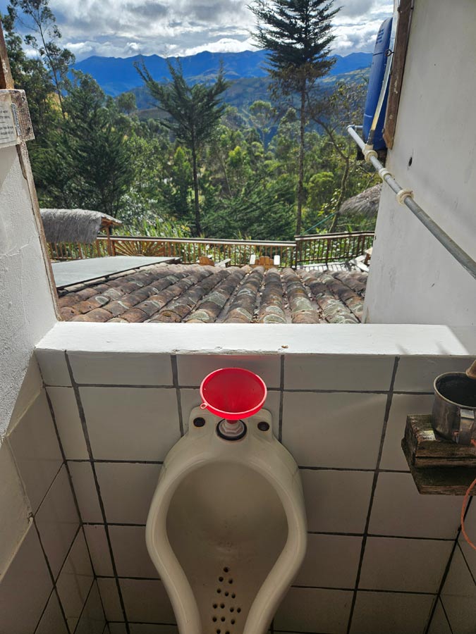
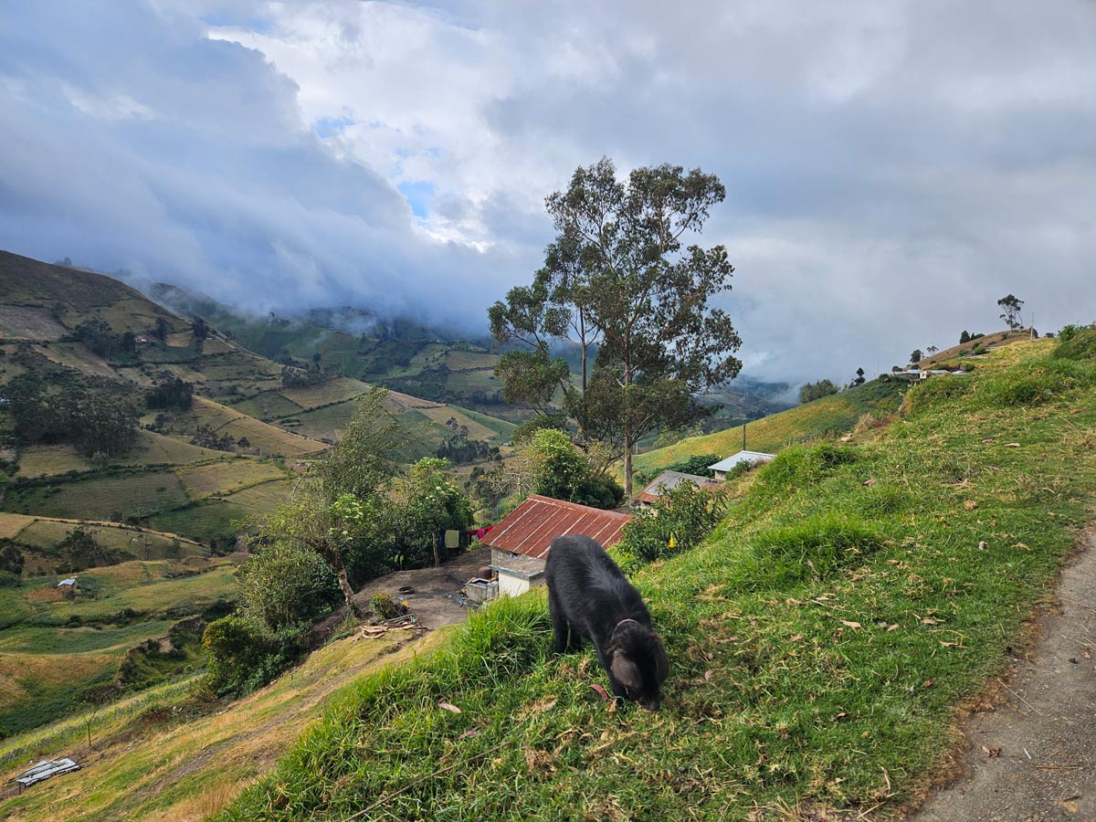
Chugchilán is a tiny village, a handful of buildings at an intersection, in the green hills near the dormant volcano of Quilatoa (last eruption: 1280 AD.) We stayed in Black Sheep Inn, an “eco-friendly lodge” that features the titular creatures, as well as composting toilets, a yoga room, the highest disc golf course known to man, and maps to various hikes. Vegetarian meals are included, though the fare is somewhat plain. For lunch, we were given tomato and cheese sandwiches, carrots and a bowl of popcorn. Dinners included vegetarian spaghetti one night, a potato-heavy quiche the other. The lodge sits partway up a hill, offering views of the patchwork of farms in the valley and climbing up near-vertical slopes where no tractor dare go. Behind our room, a few llamas took a break from munching grass to stare at us.
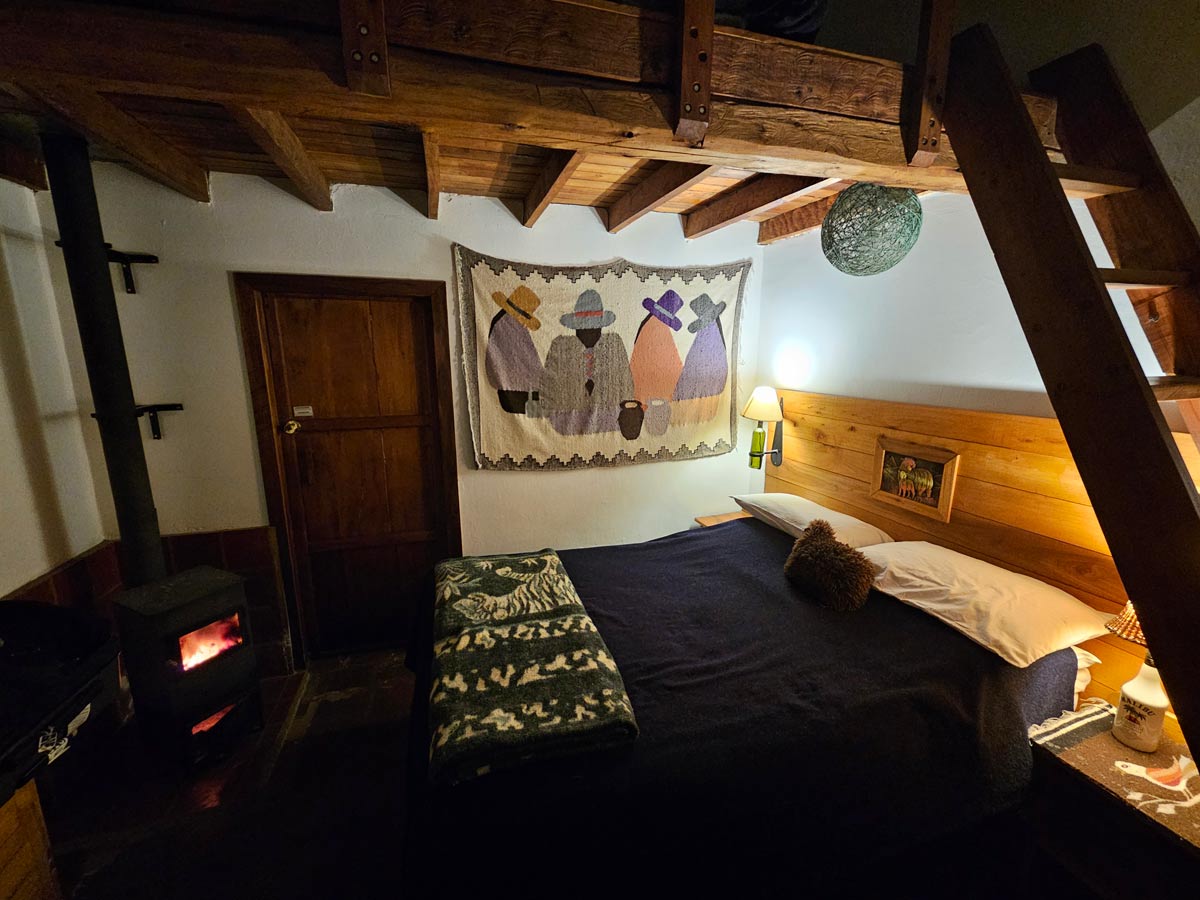
Our charming room had a small wood stove for heat, which worked so well we had to open the door at one point.
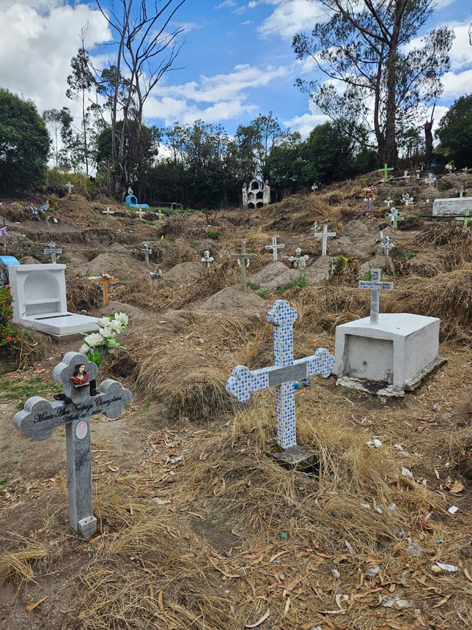
The Black Sheep’s trail maps and directions are sometimes inadequate in detail and/or poorly translated. We set off for a looping route, past a rather sparse graveyard, through the town and up the hill.
Along the way, we missed a few turns, finding our by luck and poor navigational skills while hoping the various farmers weren’t angry at us stumbling through their bean fields. However, the only real danger was having to walk farther than we intended. The views were worth the risk.
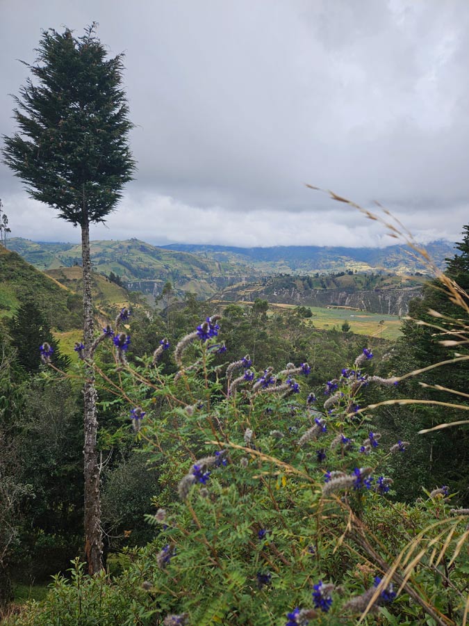
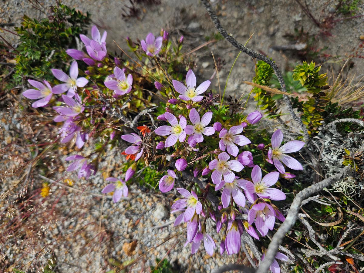
The chocho beans grows everywhere, creating purple flowerbeds on just about any surface as you can see in this panorama. (Click the link, scroll around.)
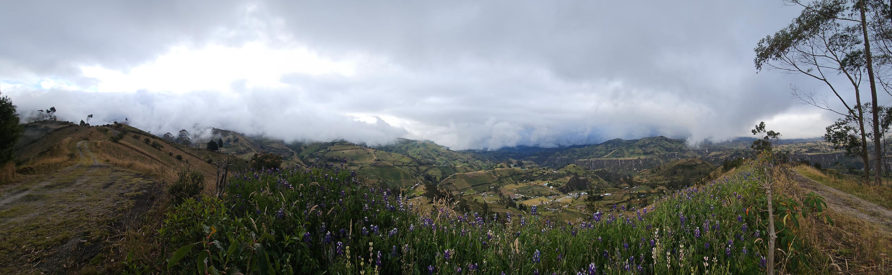
Chugchilán is close enough to hike to the volcano of Quilotoa. However, a better option is to hire a driver to take you to the rim of the crater so that you can hike back, mostly downhill. Arrive as early as you can. “You get all four seasons in a day,” we heard several times. Most days in the Andes would start clear regardless of where we were, then clouds would descend, so low as to be a wall of gray blocking everything, sometimes bringing a smattering of rain. Then some evenings it clears off again and even warms up. This makes packing for Ecuador a bit of a challenge. We encountered several Europeans or younger backpackers with much better gear than we had, packed into much smaller bags.
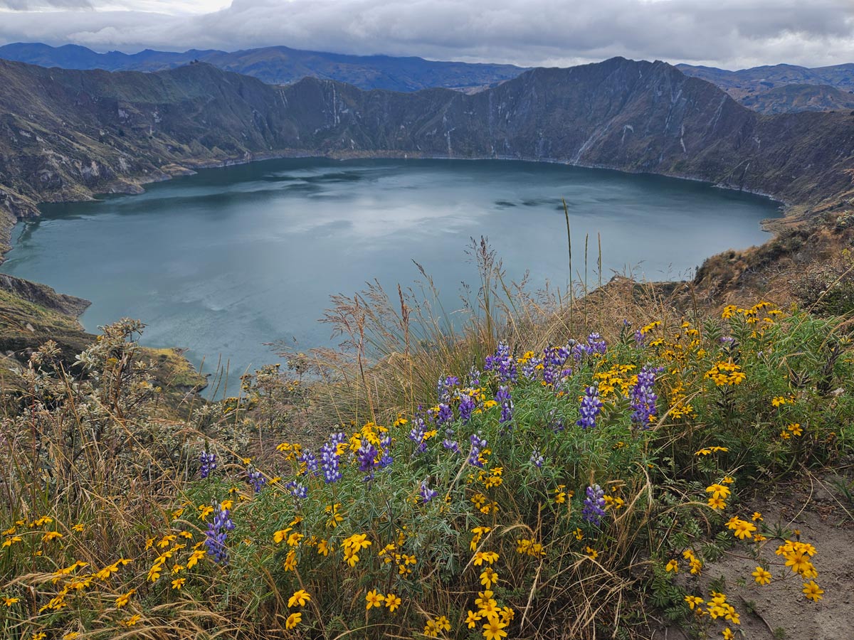
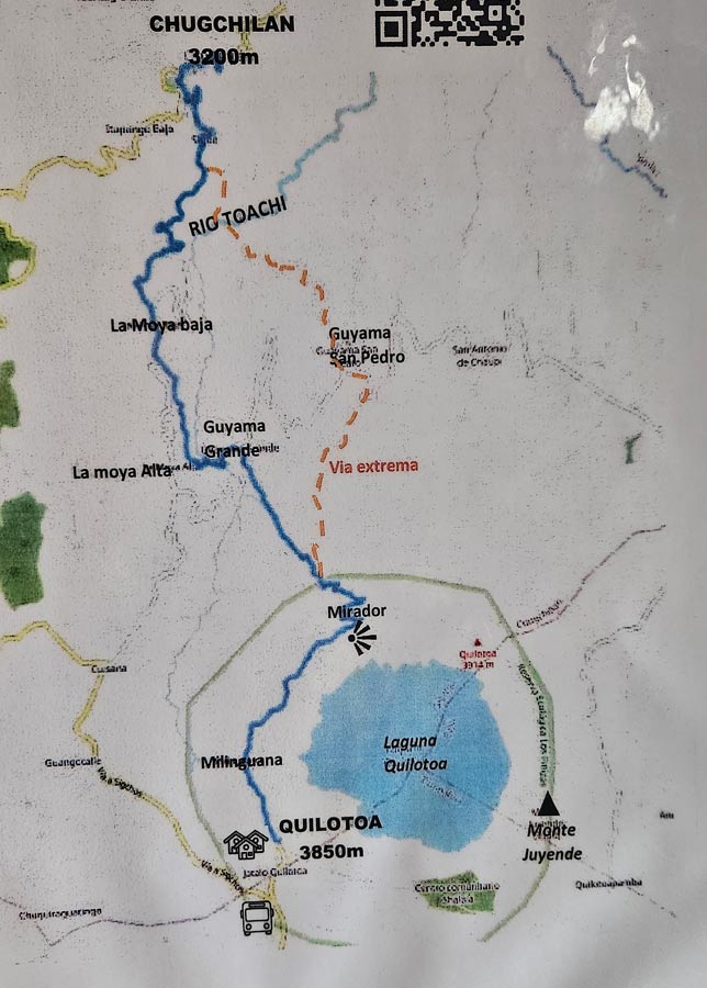
Quilatoa features a turquoise lake, all ripples on the windy day we were there. We were dropped off at a point where we could walk around a third of the rim to meet a trail leading back to Chugchilán.
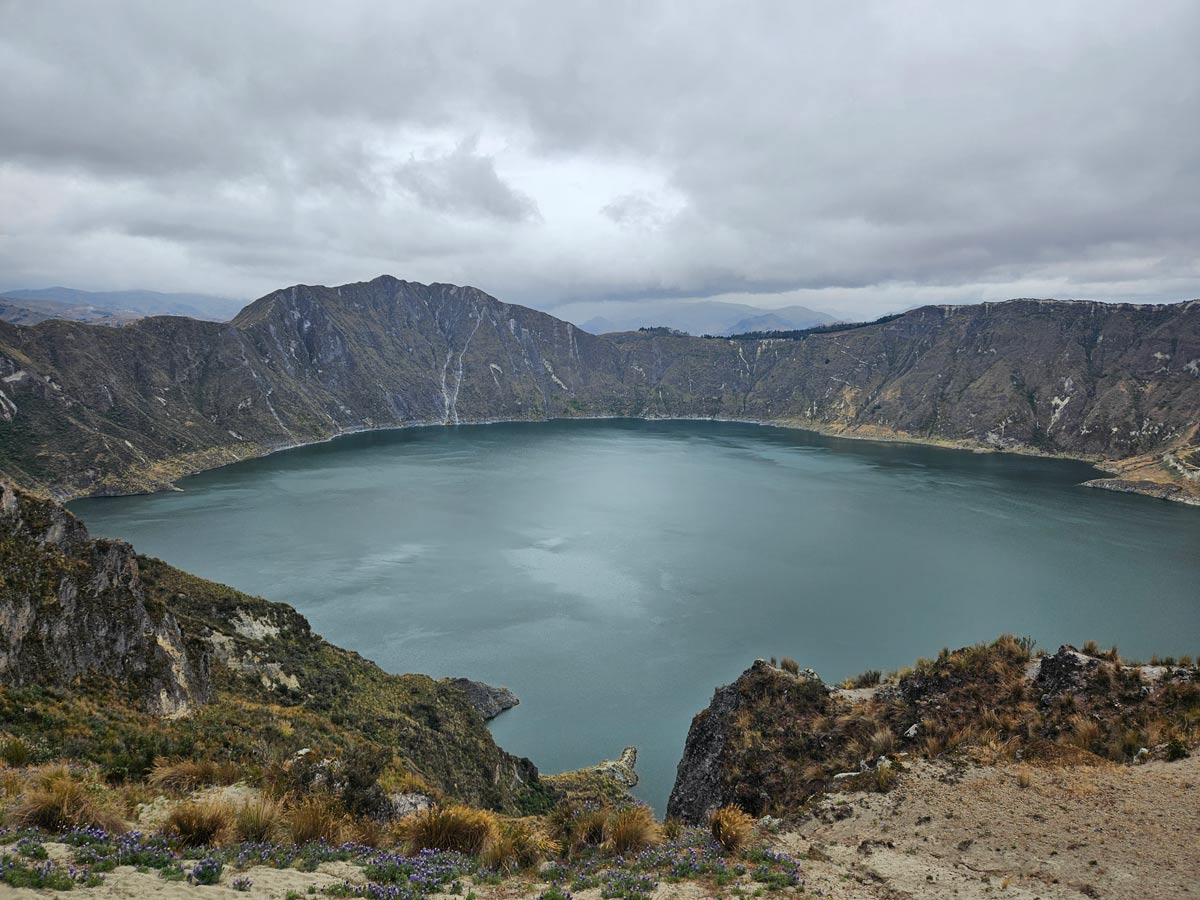
One can hike the full rim around the caldera in something like six hours, as well as hike down to the lake itself and even get a donkey ride back up (at the jetty to the right in the photo below.)
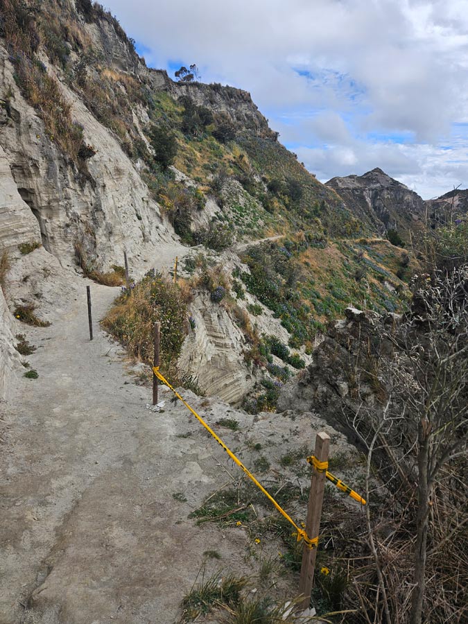
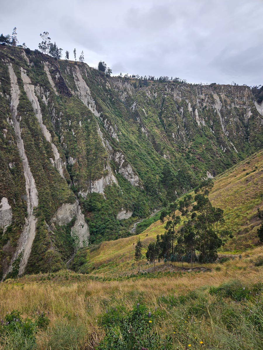
The section we did was enough, particularly given we were going to attempt the trek back to the inn. The path was generally safe, but the volcanic soil and occasional earthquakes generate landslides. Some parts of the trail, both at the volcano and in the gorges on the hike beyond, had collapsed, other sections entirely buried, resulting in some nervous scrambling. The photo below wasn’t one of the worse parts, but it gives you an idea of what the trail looks like.
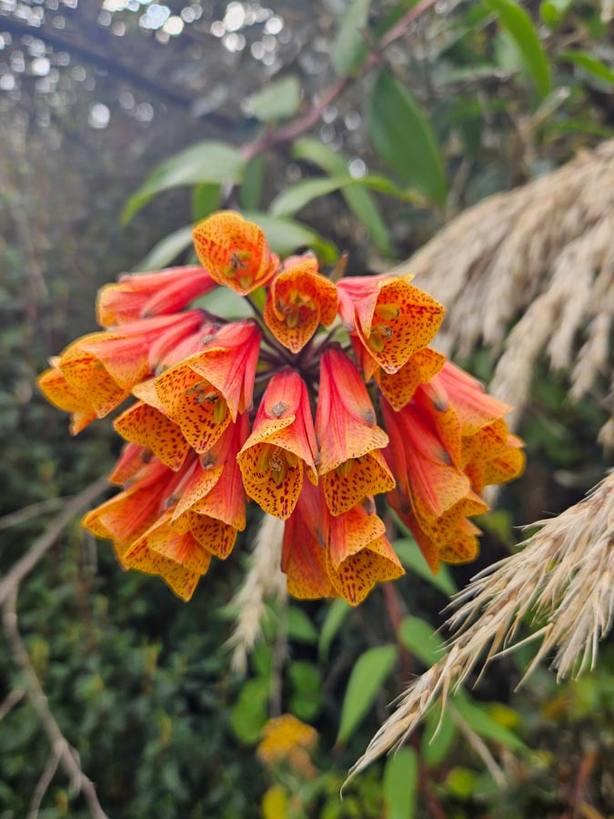
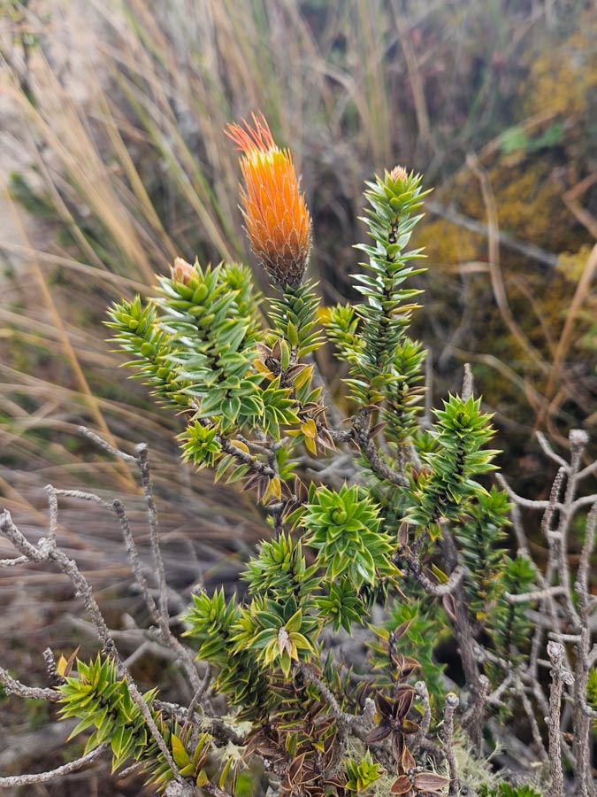
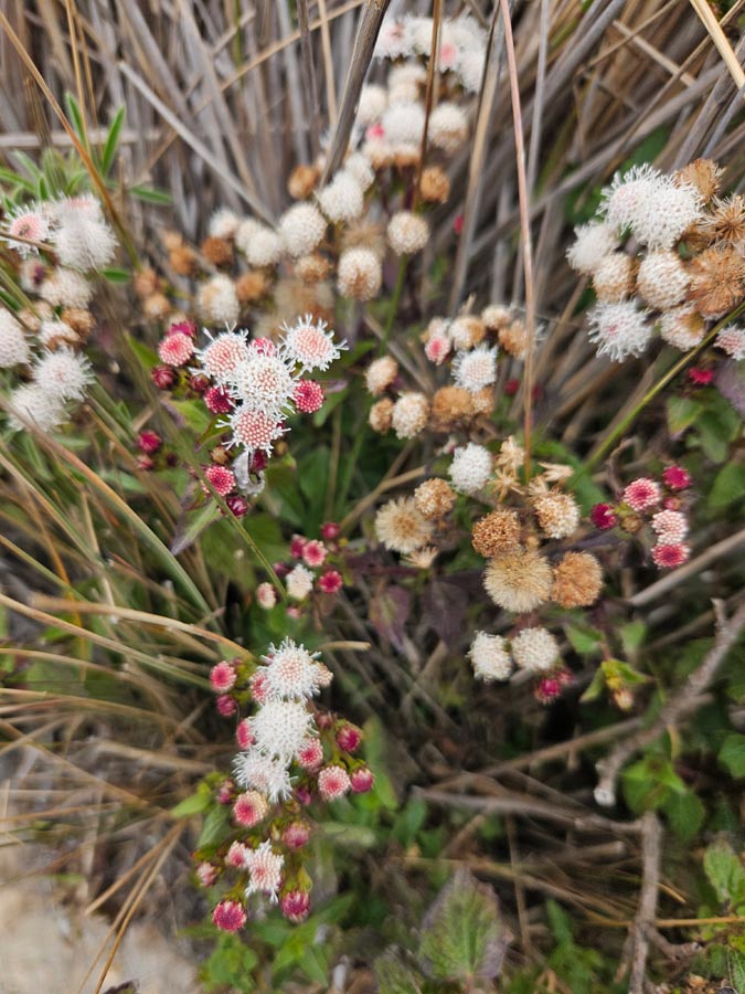
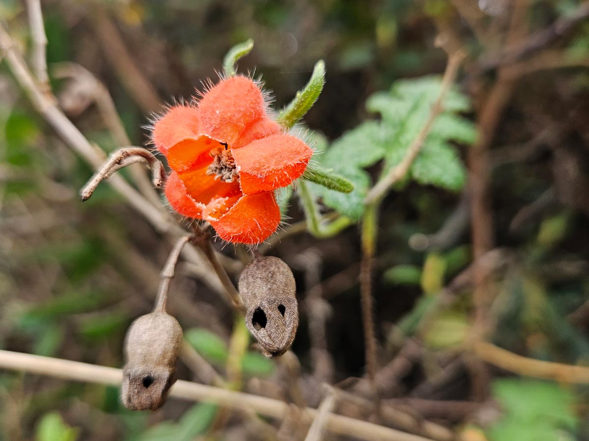
Our hike slowed to about 1/3 speed because we kept stopping to photograph flowers. Every few yards there seemed to be a species we hadn’t seen yet.
In the event that we couldn’t handle the full hike, we had arranged for our driver, Anthony, to meet us in “Guayama,” a village about halfway between the lodge and volcano where we would decide if we needed a lift or would trek on. However, we failed to specify Guayama Grande or Guayama San Pedro. Furthermore, there were few signs along the route. After missing the correct Guayama, we lost the trail, found it again at the next intersection, only to lose it again, and somehow again.
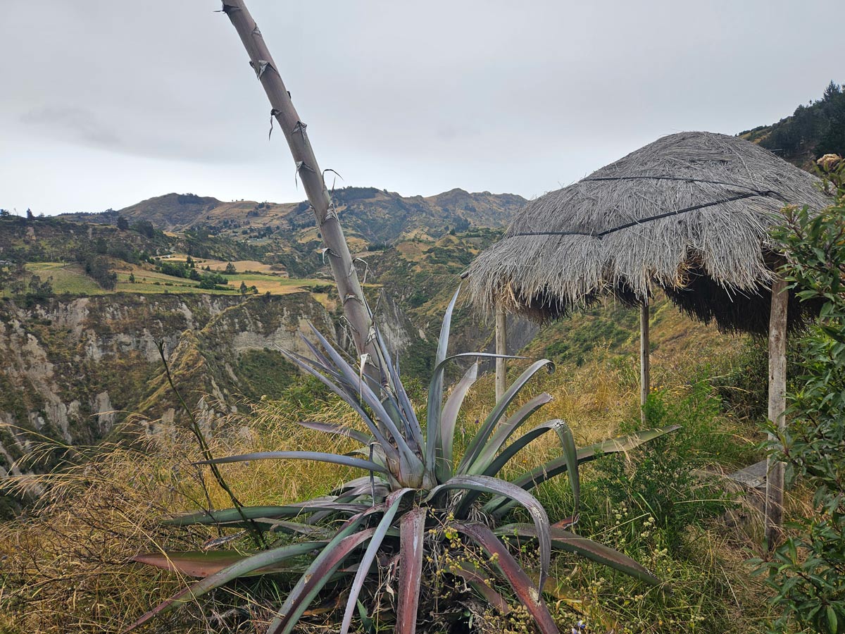
Along the way, we hiked down into and up out of two gorges, and through some cold rain blown in our faces by a stiff wind. Fortunately, we found a grass hut in which to shelter for or inn-provided sack lunch.
Despite the challenges, this was JJ’s favorite day of the trip. In addition to the wildflowers, we saw waterfalls, near-vertical farms, a couple of quiet villages, and endless lovely views. We had Quilotoa itself as a landmark, and periodically spotted Chugchilán in the distance (GPS didn’t provide enough detail, and the signal was spotty at best.) There was only so far we could go wrong. We also got the added dopamine hit of making it all the way back to the lodge.
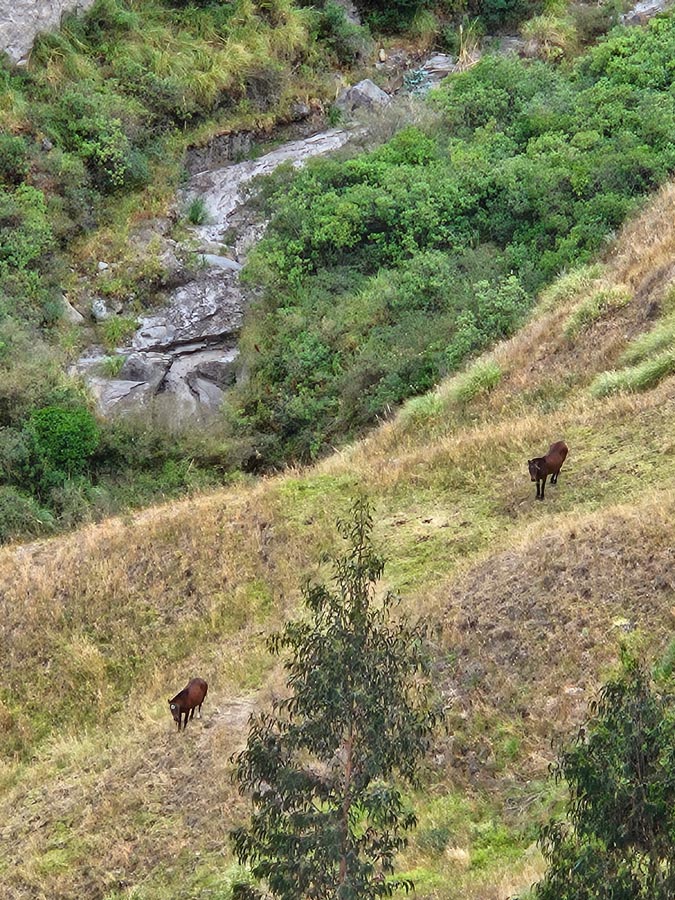
Pictures don’t really do the vertical scale justice. You see the two dark dots near the bottom of this gorge?
Around the corner from Black Sheep was another hostel that boasted a bar. However, settling in to stare at the view and stoke the wood stove was all the entertainment we needed. There area couple of other towns closer to the caldera, but I felt we’d done the best the area had to offer in a mere two days.
| Previous: Quito | Next: Baños de Agua Santa |